Day 01: Arrival and transfer to hotel in Kathmandu.
Day 02: Kathmandu to Chame via Bensisahar by bus.
Day 03: Chame to Pisang (3,200 m.) 5-6 hours walk.
Day 04: Pisang to Manang (3,540 m.) 5-6 hours walk.
Day 05: Manang – Acclimatization day.
Day 06: Manang to Khangsar (3734 m.) 4-5 hours walk.
Day 07: Khangsar to Tilicho Base Camp (4,150 m.) 5-6 hours walk.
Day 08: Explore Tilicho Lake & back to Base Camp (4,150 m.) 7-8 hours walk.
Day 09: Tilicho Base Camp to Shree Kharka (3850 m.) 4 hours walk.
Day 10: Shree Kharka to Yak Kharka (4,020 m.) 5-6 hours walk.
Day 11: Yak Kharka to Thorong Phedi (4,450 m.) 5-6 hours walk.
Day 12: Thorong Phedi to Muktinath (3760 m.) 8-9 hours walk.
Day 13: Muktinath to Jomsom (2,700 m.) 6-7 hours walk.
Day 14:Jomsom to Pokhara by schedule flight or drive by local bus/jeep. 9-10 hours.
Day 15: Pokhara /Kathmandu by drive or flight.
Day 16:Departure Transfer.
Day01: Arrival and transfer to hotel in Kathmandu
You will be met by snow Leopard Trek staff upon arrival at the international airport. He will greet and take you to your hotel for check in. This day we will have to make all necessary permits for the trek.
Day 02: Kathmandu to Chame via Bensisahar by bus.
After breakfast you will be picked up by our trekking guide for the bus ride to Bensisahar. From Bensisahar we have to take local jeep/bus which is dirt/rough road until Chame. As we reach Chame, the headquarters of Manang district, we are rewarded by the fine views of Annapurna II.
Day 03: Chame to Pisang (3,200 m.) 5-6 hours walk.
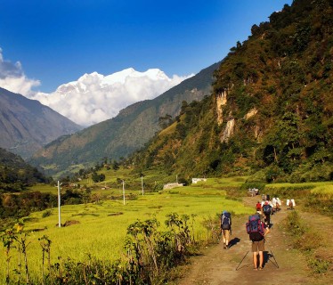
Along the Marsyangdi river which we cross at 2,910 m. on a long suspension bridge. We cross yet another suspension bridge at 3,040 m and from here we gain sight of the soaring Paungda Danda rock face. After about five hours hiking we then get to the sprawling village of Pisang
Day 04: Pisang to Manang (3,540 m.) 5-6 hours walk.
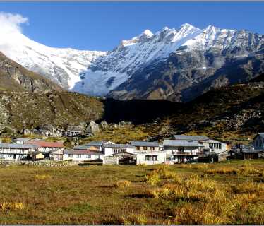
On our trek today we start to hike through the drier upper section of Manang district. There are two trails on leaving Pisang, we will hike the lower easier route or if you are fit enough we will take the more scenic high route. The lower route takes an undulating route through Hongde (3,325m), which has an airstrip and then onwards through Mungji village to finish at the rather large village of Manang perched on its lofty Eire. Here Mani wheels and prayer flags abound and you are surrounded by the incredible mountain vista of the Annapurnas.
Day 05: Manang – Acclimatization day.
Today is all about acclimatizing and resting. You can have a day hike around one of the many scenic trails around Manang, rest or visit one of the many sight around the area. Should you feel energetic you can take a hike up to Ice Lake (3,900 m)
Day 06: Manang to Khangsar (3734 m.) 4-5 hours walk.
From Manang one heads out through the western gates and then one follows the path down to the river. Cross it and continue on the south side of it through coniferous forest towards Khangsar. One section is across a steep and exposed scree slope. Cross the Khangsar Khola on the bridge below Khangsar and ascend the slope to the village.
Day 07: Khangsar to Tilicho Base Camp (4,150 m.) 5-6 hours walk.
Continue from Khangsar on a large path. Pass a Gompa (monastery). The route ahead goes on a recently constructed path up towards a high ridge. At one point is an intersection. One path maintains the altitude, traversing the slopes towards a place where the valley is narrow, the other continues to ascend towards the line of the ridge. The former is the old path, and is much more difficult as it goes on really steep scree, the latter is the new path that goes a completely different way. Continue along the new path, reach a high crest, and descend on switch backs carved out through the scree slopes to a side valley of the main valley. At its bottom is a brook. On the other side of it is a building known as Tilicho Base Camp.
Day 08: Explore Tilicho Lake & back to Base Camp (4,150 m.) 7-8 hours walk.
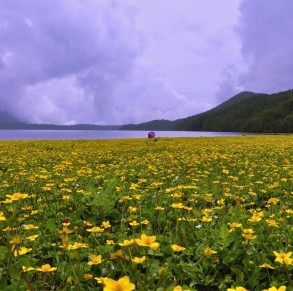
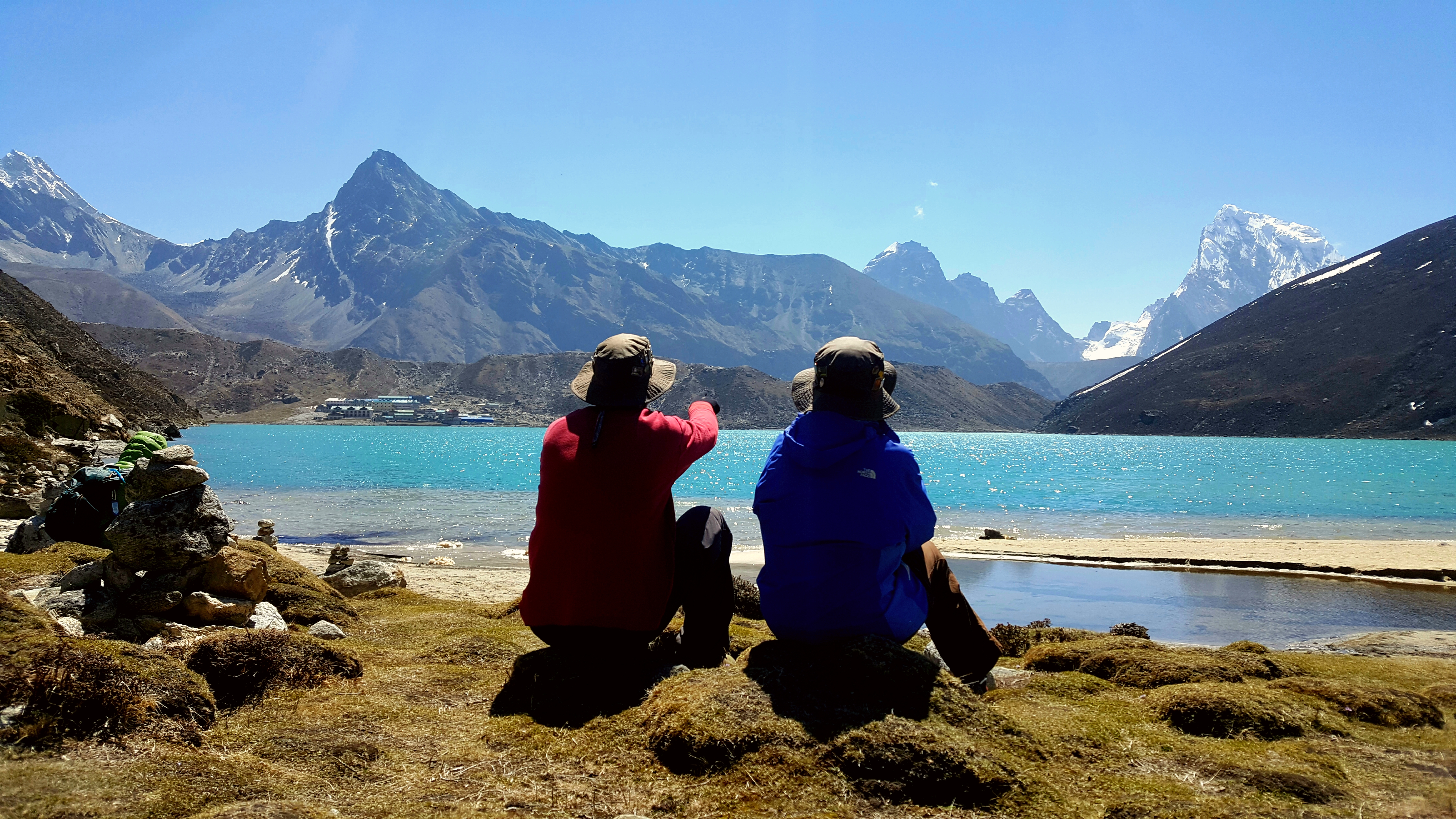
Tilicho is often called the highest lake in the world especially in Nepal. It is of course always compelling to call yourself “biggest”, “highest”, “tallest” but in case of a lake the problem starts with the fact that there is considerable uncertainty about defining the difference between lakes and ponds, and no current accepted definition of either term exists. Many bodies of water are higher than Tilicho (which is at an latitude of 4920m) but they are generally no more than a few hundred metres in size. So let’s say that for its size Tilicho is the highest lake in the world. All the higher expanses of water are quite a bit smaller.
Day 09: Tilicho Base Camp to Shree Kharka (3850 m.) 4 hours walk.
This day is easy walk.
Day 10: Shree Kharka to Yak Kharka (4,020 m.) 5-6 hours walk.
This day we walk most of the day along the Marshyangdi river.
Day 11: Yak Kharka to Thorong Phedi (4,450 m.) 5-6 hours walk.
Leaving Yak Kharka you will climb gradually along mountain trails running along the headwaters of the Marsyangdi crossing it at one point over an old wooden bridge. You then follow a narrow mountain path that leads you up to your overnight stay at Thorong Phedi.
Day 12: Thorong Phedi to Muktinath (3760 m.) 8-9 hours walk.
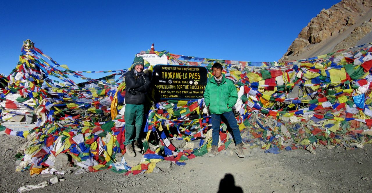
Today is a long day and you will leave at 4 am. As soon as you leave Thorong Phedi the trails becomes steep for the two hours or so it takes you to get to High Camp (4,800 m). From here the terrain gets easier but the hiking is no less tough as the altitude starts its wearing effects on you. After another two hours or so you finally get to to the pass with its
plethora of prayer flags and excellent views. After a quick cup of tea and some food at the café at the pass (honest!) you will start to make the rocky decent to the remote but sizable town of Muktinath for your well earned overnight stay. Don´t be surprised if you take longer today than anticipated as you will need to feel in tune with the altitude and hope that the weather is favorable.
Day 13: Muktinath to Jomsom (2,700 m.) 6-7 hours walk.
Today you descend from Muktinath into the district of Mustang where the scenery changes dramatically as you descend the Kali Gandaki valley into a landscape of stark rocky desolate You will go through the green oasis that is Kagbeni (2,800m), which stands out in stark contrast to the surrounding moonscape. Coming out of Kagbeni you follow the broad rugged course of the Kali Gandaki river where thankfully the terrain is now quite flat. After a few more hours you arrive at the end of your journey in the town of Jomsom, the headquarters of Mustang district. The pass is also often covered in snow too and if so this will make the going harder beauty.
Day 14: Jomsom to Pokhara by schedule flight or drive by local bus/jeep – 9-10 hours.
Day 15: Pokhara /Kathmandu by drive or flight.
Either fly or drive back to Kathmandu from Pokhara. The drive will take about 6-7 hours to reach Kathmandu while the flight will take only 25 minutes to land .
Day 16: Departure Transfer.
A representative from Snow Leopard Trek will take you to the airport approximately 3 hours before the scheduled flight. We hope you enjoyed the Annapurna circuit with Tilicho lake trek with us, and we are sure you ‘ll be back making another trip somewhere in the Himalaya again.



 English