Day 01: Arrival in Kathmandu.
Day 02: Free day in KTM to make permits.
Day 03: Kathmandu/ Suketar by flight. Free day and visit Taplejung Bazaar.
Day 04: Trek to Mitlung (800 m). 6-7 hrs walk.
Day 05: Trek to Chirwa (1190 m) 5-6 hrs walk
Day 06: Trek to Sekathum (1640 m). 6 – 7 hrs walk
Day 07: Trek to Amjilasha (2490 m). 6 – 7 hrs walk
Day 07: Trek to Amjilasha (2490 m). 6 – 7 hrs walk
Day 09:– Trek to Ghunsa (3430 m) 4 – 5 hrs walk.
Day 10: A rest day in Ghunsa
Day 11: Trek to Langjong Kharka (3734 m) 9 – 10 hrs walk.
Day 12: Trek to Olangchung Gola (3208 m) 6 – 7 hrs walk.
Day 14: Trek to Upper Langmale (3893 m.) 5 – 6 hours walk.
Day 15: Trek to Pass Camp (4747 m.) 6 – 7 hours walk.
Day 16: Trek to Chaurikharka (4594 m.) 8 – 9 hours walk.
Day 17: Trek to Thudam (3500 m.) 6 – 7 hours walk.
Day 18: Trek to Kharka (2877 m.) 5 – 6 hours walk.
Day 19: Trek to Chyamthang (2229 m.) 6 – 7 hours walk.
Day 20: Trek to Hatiya (1595 m.) 5 – 6 hours walk.
Day 21: Trek to Gola (1128 m.) 5 – 6 hours walk.
Day 22: Trek to Gadhi (1800 m.) 5 – 6 hours walk.
Day 23: Trek up to Num (1572 m.) 4 – 5 hours walk & Drive Khandbari (1022 m.) 4-5 hrs drive.
Day 24: Drive to Tumlingtar.
Day 25: Tumlingtar /Kathmandu by flight.
Day 26: International departure.
Day 01: Arrival in Kathmandu.
Day 02: Free day in KTM to make permits.
Day 03: Kathmandu/ Suketar by flight. Free day and visit Taplejung Bazaar.
Day 04: Trek to Mitlung (800 m). 6-7 hrs walk.
The trail today can be very muddy and in poor condition as it is subject to landslides and requires constant maintenance. Our route may take us on either side of the Tamur River depending on existing conditions. It is likely that we will have to cross the river several times to make our way northwards. On the trail today we will see different species of birds and the forest is alive with their calls. The river is home to many different fish species and we may glimpse flashes of color beneath the surface. By all accounts today could be a tough day and your perseverance and flexibility are very important in this stage of the trek.
Day 05: Trek to Chirwa (1190 m) 5-6 hrs walk
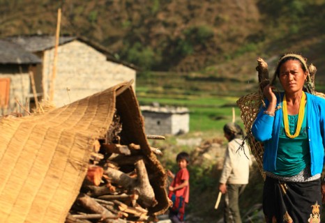
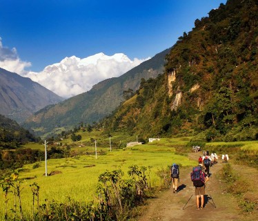
The roar of the Tamur accompanies us all day as we trek this classic Himalayan gorge with its dense patches of sub-tropical rainforest and cliffs. Most of the villages are up on the valley sides though we do pass through them in places where the valley opens out. The ethnic group here, the Kirantis now known as Limbu, date back more than 2000 years as subsistence farmers in this region. Crops such as rice, millet, barley, wheat and corn are nearly always growing at the time that we visit.
Day 06: Trek to Sekathum (1640 m). 6 – 7 hrs walk
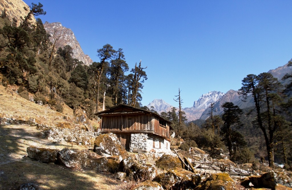
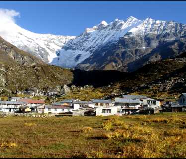
The trail is well defined and the walk is both enjoyable and satisfying. We have only a few climbs up towards the valley where we begin to notice subtle changes in the landscape surrounding us. We weave through large boulders passing below the village of Tapethok and cross a landslide area to reach a bridge crossing a tributary of the Tamur River. This is the Simbuwa Khola, which flows from the south side of Kangchenjunga. We continue on towards the base camp, crossing several bridges and following what is now called the Gunsa Khola.
Day 07: Trek to Amjilasha (2490 m). 6 – 7 hrs walk
The trail is very narrow and we follow the Ghunsa River until we break for lunch. This walk requires a lot of caution and concentration. On the way, we pass a small Sherpa settlement mainly tending to Yaks. After lunch, there is a steep climb towards our overnight camp at Amjilasha. Amjilasha (Amjilosa) is a small Tibetan settlement.
Day 07: Trek to Amjilasha (2490 m). 6 – 7 hrs walk
Today’s walk is predominantly through forest and we will sight many waterfalls along the way. There are no villages to pass through leaving us with a feeling of remoteness in the tranquil forest surroundings.
Day 09:– Trek to Ghunsa (3430 m) 4 – 5 hrs walk.
Before lunch, we follow a narrow trail through thick forests to our lunch site is at Phole village, this is a typical Tibetan village and winter settlement for the villagers of Ghunsa. People of this village depend mainly on yak rearing and weaving carpets. Here we find the one and only monastery of the entire trek and visitors are most welcome.
Day 10: A rest day in Ghunsa
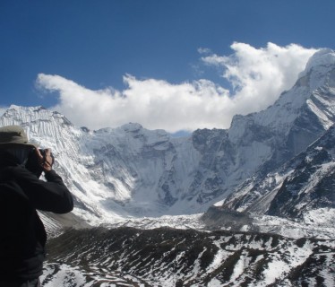
Today we will enjoy a rest day and there may be time, weather permitting to wash some clothes or other domestic chores. We also have an option of a 3 hrs walk opposite River Khanso Thanso, from where we see a panoramic view of Phole Peak and Sobithongi Peak and also a glimpse of Mt. Khumbakaran. After long days of walking, a rest day is highly recommended.
Day 11: Trek to Langjong Kharka (3734 m) 9 – 10 hrs walk.
Day 12: Trek to Olangchung Gola (3208 m) 6 – 7 hrs walk.
We caught the first glimpse of Olangchung Gola after a walk of around 45 minutes from the waterfall. After a climb of about 40 minutes, we finally reach the camping site at Olangchung Gola (3208m).
Day 13: An explore day in Olangchung Gola (3208 m.)Olangchung Gola is a beautiful Walung village with around 45 houses, a 465 years old monastery with golden manuscript and KCAP office. There is also a sub-health post, a primary school and a border police station at Olangchung Gola.
Day 14: Trek to Upper Langmale (3893 m.) 5 – 6 hours walk.
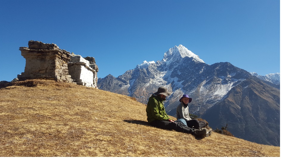
The trek in the next three days will pass through complete wilderness. However, piles of stones along the way act as sign posts, showing us our direction. The trek passes through pine and rhododendron forests. After a walk of two and half hours, we reach a place called Jadak (3636m) for lunch. A walk of three hours on snowy track will take us to our camping site at Upper Langmale (3893m).
Day 15: Trek to Pass Camp (4747 m.) 6 – 7 hours walk.
The eighth day trek can be interesting as snow leopards have been sighted numerous times from this trek. The trek runs along the Tamor River and on the other side of the river lies dense rhododendron forest. After a walk of about three hours, we reach Tangchetar (4203m) for lunch. Another three hours walk after lunch will lead us to our camping site at Pass Camp (4747m).
Day 16: Trek to Chaurikharka (4594 m.) 8 – 9 hours walk.
This would be the most difficult yet most memorable day of this trek. This day the trek will pass through the Lumba Sumba Peak (5200m). It is better to start early as it will be difficult to cross the peak after noon. The trek climbs a bit up and again runs down. It is better to take packed lunch, as there are no good camping sites around. After a walk of about four and half hour from Pass Camp, we climb the Lumba Sumba Peak and descend down to Chaurikharka (4594m) for night’s stay.
Day 17: Trek to Thudam (3500 m.) 6 – 7 hours walk.
The trek is downhill from Chaurikharka as we come back to civilization after tiring walk for three days. After a walk of about three and half hours, we came across two roads – one to Lyasha in Tibet and the other toward Thudam. We prepared our lunch at this place. A walk of about three hours takes us to Thudam for the night’s accommodation. Thudam (3500m) is a small village with around 30 houses of Sherpa people.
Day 18: Trek to Kharka (2877 m.) 5 – 6 hours walk.
The eleventh day trek runs along the banks of Chujung Khola. The trail offers panoramic view of peaks in the Makalu range. On the way you see lot of small bushes and bamboo groves – the best habitat for red panda. If you are lucky, you can see this endangered species. It is better to carry packed lunch, as it is difficult to find drinking water along the trail. After a walk of about six-hours from Thudam, we reach Kharka (2877m) for the night’s halt.
Day 19: Trek to Chyamthang (2229 m.) 6 – 7 hours walk.
The twelfth day’s walk passes through dense rhododendron forest. As there are no villages on the way and also there are numerous side trails, it is better to hire a local guide to avoid getting lost. After a walk of about three hours form Kharka, we reach a place called Chaurikharka for lunch. From Chaurikharka, we can clearly see Chyamtang (2229m), Arun River, Ridha Village and the road that leads to Kimathanka. After lunch, the trek is all downhill for about three hours until we reach Arun River. After crossing the suspension bridge over the Arun, the trek is uphill for about an hour until Chyamthang – our destination for the day. Chyamthang (2229m) is a small yet beautiful village with stone houses. Sherpas are the dominant population in the village.
Day 20: Trek to Hatiya (1595 m.) 5 – 6 hours walk.
The trail on the day passes through rhododendron forest. The walk is easy as chirping of birds make you feel refreshed. The trail is one of the popular places for birding as we are entering Arun Valley that is home to several bird species. A walk of about two and half hours from Chyamthang takes us to Gimber Village (1585m) for lunch. Gimber Village offers spectacular view of snowcapped peaks in the Makalu range. From Gimber, the walk is easy and after a trek of about three hours we reach Hatiya (1595) for the night’s stay. Hatiya – a small village of Bhote people – is the entry point to the Makalu National Park.
Day 21: Trek to Gola (1128 m.) 5 – 6 hours walk.
The trek on the 14th day runs along the banks of Arun River. After a walk of about two and half hours from Hatiya, we reach the confluence of Arun and Barun rivers. After having lunch near the river confluence, the trek progress toward Gola – our destination for the day. A walk of around two and half hours after lunch takes us to our camping site at Gola. Gola is a very small village with only 12 houses. Sherpa, Rai and Tamang people reside here.
Day 22: Trek to Gadhi (1800 m.) 5 – 6 hours walk.
The trek passes through paddy fields on the 15th day – a sign that we are at lowlands now. The walk is pleasing as the trail makes a short descent, but again makes a short climb. After a walk of about two and half hours from Gola, we reach Pathibhara (not to be confused with the Pathibhara temple in Taplejung district) for lunch. Pathibhara (1524m) is a small Gurung village with tea shops, groceries and some hotels. The trail after lunch passes through agricultural land and we can find plenty of water sources and small settlements along the way. We reach Gadhi (1800m) – our destination for the day – after a walk of around three hours from Pathibhara. Gadhi (that means fort in Nepali language) is a place of great historical significance as Nepali Army fought bravely with invading Tibetan Army at this place and chased them away. Gadhi is a small village market with a health post, a school and a police station.
Day 23: Trek up to Num (1572 m.) 4 – 5 hours walk & Drive Khandbari (1022 m.) 4-5 hrs drive.
This is the last day of our trek. A walk of about two and half hours from Gadhi takes us to Num. From Gadhi, the trek is about an hour downhill till the Arun River. After crossing the river, an uphill climb of about one and half hour takes us to the Num village (1572m). As Num is linked with motorable road, we can hire a vehicle to Khandbari (1022m) – the district headquarters of Sankhuwasabha district. A drive of around 4-5 hours on dirt road takes us to Khandbari. From Khandbari, buses are available to Dharan or Biratnagar. Or you can take a vehicle to Tumlingtar airstrip and fly directly to Kathmandu.
Day 24: Drive to Tumlingtar.
Day 25: Tumlingtar /Kathmandu by flight.
Day 26: International departure.
Snow Leopard trek representative will pick you up from the hotel and transfer to the interanationl airport for the departure.



 English